Thursday, August 25, 2022

Islands and Ferries - Part 2 – Monhegan Island

It’s a 1½ hr boat ride to Monhegan Island from Boothbay Harbor. We went with Balmy Days Cruises (highly recommend). Leaving Boothbay Harbor at 9:30am with the return trip from Monhegan leaving at 2:45pm, we thought we would have plenty of time to spare. As it turned out, we could easily have spent another day there.

Soon after departing, the weather went from bad visibility ...

to worse ...

to zero visibility. 

Fortunately, I didn’t get seasick, because if I had, the “Just Keep Your Eyes on the Horizon” advice would have been useless. What horizon? 

Here is Bob talking to Emergency Backup Captain Thoren. Bob was asking about navigation and collision avoidance in the days before GPS, radar, radio, etc. Don’t know what made him think to ask.

Coming into Mohegan harbor

On land

The island is overrun with artists

The streets are unpaved

The Cliff Trail. “Generally considered a moderately challenging route.”

Remains of a 1948 shipwreck (a dense fog around the island caused a tug boat to run aground)

We didn’t even make it half way around the island on the Cliff Trail before running short on time. We had to cut through the interior to get back to the dock in time to catch the boat, the last (of only two) of the day. Fortunately, this trail took us past the Tourist Attraction Mandatory Lighthouse. 

View of the town from near the lighthouse, and then back to the dock.

Fun Fact 1: Emergency Backup Captain Thoren is a real captain, but was working as a first mate on our trip.

Fun Fact 2: Ships need to signal their presence in zero visibility or at night by blasting their horns frequently according to ecfr.gov . However, Thoren told us, our boat only needed to do a “ping” whatever that is. Lucky for us, or we would have gone deaf.  

I looked it up and per clause (i) of ecfr.gov: “A vessel of 12 meters or more but less than 20 meters in length shall not be obliged to give the bell signals prescribed in paragraphs (g) and (h) of this Rule. However, if she does not, she shall make some other efficient sound signal at intervals of not more than 2 minutes.” Such as a ping. 

Fun fact 3: In the days before GPS, radio beacons, and radar, ships would try and figure out their location and heading by observing the sun and stars. Later they used charts together with complicated devices such as marine compasses, astrolabes, sextants, chronometers, etc. Many of which still required being able to see the sky. 

Pretty amazing to me, considering I can’t even remember the difference between longitude and latitude, port and starboard, or even locate my car in a parking lot.

Wednesday, August 24, 2022

Islands and Ferries - Part 1 - Peaks Island

If you draw a straight-ish line from one end of Maine to the other, staying as close as you can to the coast without going down any of the “fingers”, it’s about 300 miles. (The B on the map is our current location - Camden Hills State Park.)

There are over 4,600 islands off that coast!

Many of these islands are tiny and uninhabited, some are connected by bridges to the mainland or each other, and others can only be reached by private boat or ferry.

These Islands just ooze charm.

Casco Bay Lines Ferry to Peaks Island from Portland

Then biked the 3 ½ mile Scenic Loop Road around the island.

About halfway around the island, we walked a trail in the Steele Conservation Area through a jungle to the remains of a huge WWII battery.

Every inch of which has been artistically graffitied. Even the insides of the pitch-black tunnels.

Someone enterprising should set up a kiosk selling spray paint à la Cadillac Ranch in Texas

keepingupwiththeparentalunits.blogspot.com/2022/02/continuing-home-new-mexico-to-oklahoma

Fun Fact Maine has a longer coastline than California! California’s coast is 840 miles long. If you stretch out the coves, inlets, etc of Maine’s coast and remeasured, Maine has over 4,500 miles of coast. When you add in the coastline from Maine’s 4,600+ islands, you now have 7,000 miles!
Friday, August 19, 2022

First Lighthouse and First Bull Moose Sightings! And a Submarine!

Maine Vacation Day 1

When we do not need to make good time, we go “shunpiking” (local roads rather than highways,) so we can get a sense of the place.
So, after fighting traffic through some of the most touristy places on the Maine coast, when I saw a place on the map with the interesting name of Biddeford Pool, on an appealing looking little peninsula, we decided to take a detour.

It was certainly off the beaten track. And by off the beaten track I mean without a Gift Shoppe within at least 15 miles. At the end of the road, after miles of mansions, facing the ocean, was the East Point Sanctuary with views of our first Maine lighthouse.

Wood Island Lighthouse and East Point Sanctuary

Now lighthouses are a dime a dozen, but have you ever seen a Monumental Day Beacon?

Stage Island Monument, one of two nineteenth century Monumental Day Beacons in Maine. A structure for navigating during the day.

Bull Moose Sighting

So what if it was in a Cabella's. Given our track record of seeing bull moose in the wild (never) this may be the only sighting we get.

Submarine

Right at the border between New Hampshire and Maine, we unexpectedly drove past a submarine in a concrete cradle just at the side of the road. Did we just see that?!? We immediately made a U-turn, and went to the USS Albacore Museum. 

Who knew Russian subs were within 12 miles of the US coast during the Cold War?

Normally I am not at all claustrophobic. But I was starting to feel uncomfortable with the stuffiness in there. I cannot imagine living on land inside that sub with 44 other people (crew size), let alone under water with the hot, noisy engines running. These photos were taken with a wide angle lens so the space looks a lot bigger than it is.

Amusing story about how the sub got here. The story starts off - "They waited for the highest tide of the year, and started floating her in. It took longer than they thought it would, and the tide started going out"… For an abridged continuation of the story see USS Albacore/about, starting from the section “In May of 1985” …

Wednesday, August 17, 2022

On the Road Again! Hello Maine!

You may have been wondering why we dropped off the map …

Long story short, since we got back in March from our winter trip to Arizona, etc., Our V was in and out of the shop for months for repairs. Total incompetence at $175 an hour! But we did manage to get out of the house a few times since then.

Including...

Shavuot at Camp Moshava, Honesdale, PA. 

A wedding in Bethlehem, PA, a wedding in Lakewood, NJ, and a Bat Mitzvah in Trumbull, CT

A nice day in Long Branch, NJ.

A few fun days in Cape Henlopen State Park, Delaware with two of our sons and our three grandchildren in June (plus a separate car, tent, screen room, lots of camping equipment, and a LOT of food). 

Last week was supposed to be a wedding in Montreal and a wedding in Staten Island, but turned into two weddings and a funeral (funeral in Toronto) and 1,200 miles driving in 3 ½ days.

And now we are in Maine! We hope to be here for about a month.

Great visits with family on the way up.

Note: For those of you who subscribed to get new posts by email, the tech method to send out the emails has been discontinued. You will now get an update when there is a new post. You will need to click on the link in the email to see the post.

To get on the email list and get a notification when there is a new post please send a request to ParentalTravels@gmail.com
Also to unsubscribe

Sunday, March 6, 2022

Google Maps Overestimates our Abilities

Leaving Nashville Sunday morning. 865 miles to home. Google Maps lets us know it will take us 12 days to walk. That comes out to 72 miles a day.

Thanks for thinking we are in such great shape, Google, but I don’t think you took into account how much we carry on our hikes - water, trail mix, other snacks, lunches, cameras, phones, etc. Not to mention pushing or pulling Our V the whole way. We figure it would take at least 15 days.

We were in Nashville Thursday through Shabbos.

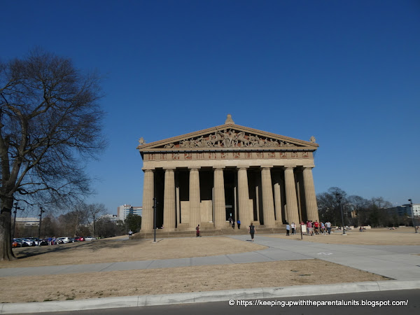
Full scale model of the Parthenon in Nashville. We never know what weirdness we will encounter on our travels. The rational for this Parthenon is that Nashville is the “Athens of the South”. No need for us to visit Greece now!

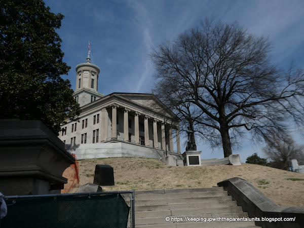
Nashville State Capitol Building

Hot Springs National Park Arkansas

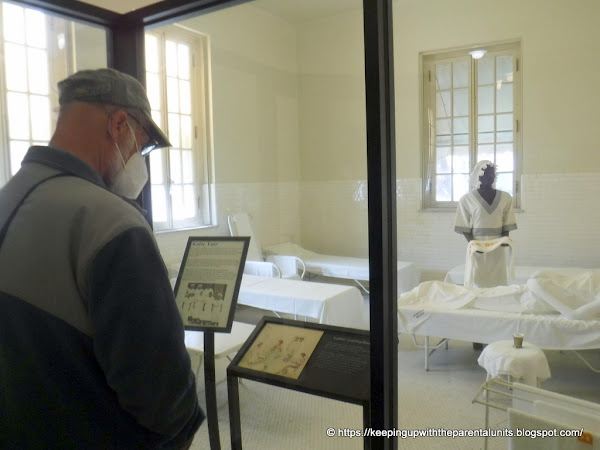
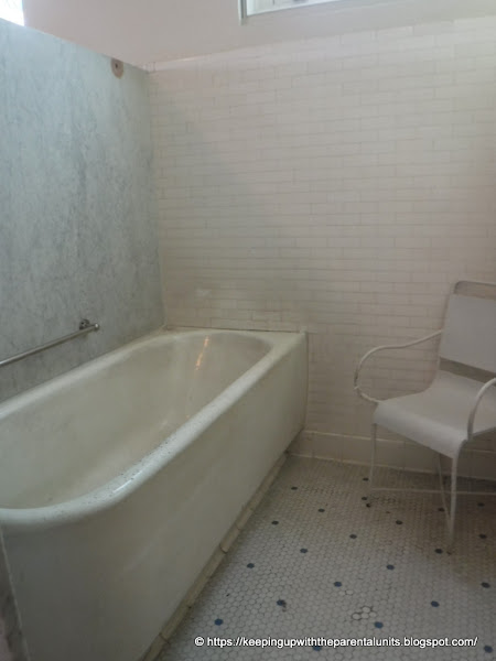
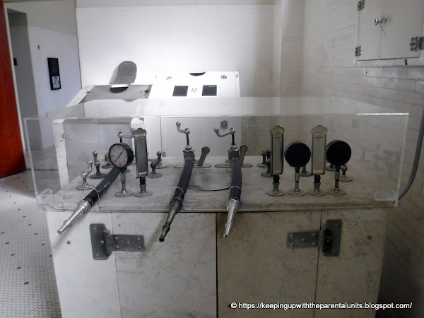
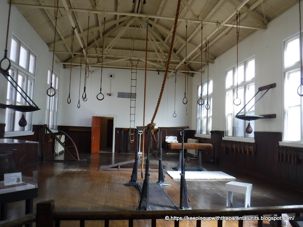
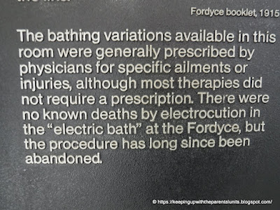
Historic Fordyce Baths - One of the creepiest places we have ever been. In addition to the therapeutic hot spring water baths - “Mercury Treatments”, “Electric Baths”, and other state of the art medical treatments were offered back in the day.

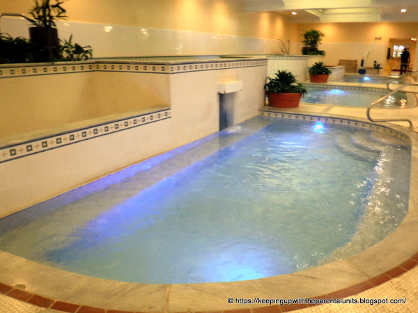
Quapaw Baths and Spa. The baths we went to. Amazing therapeutic water. Cured my eczema, arthritis, acid reflux, and hangnail. And I am now 2 inches taller.

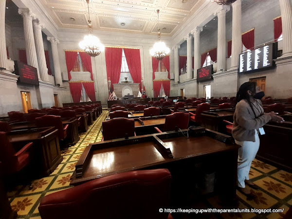
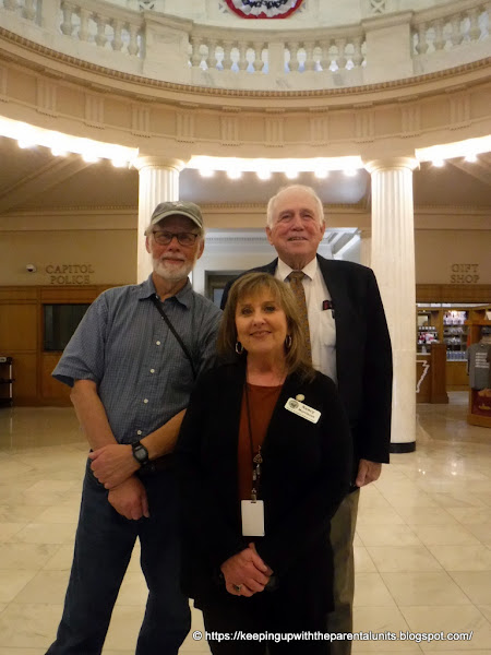
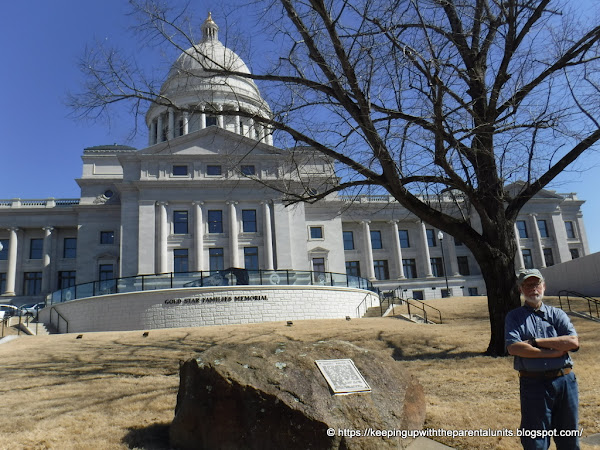
Little Rock Arkansas - We collect another state capital building

Rep. David Hillman stopped by to say Hi. Tour guide Nancy was excellent.

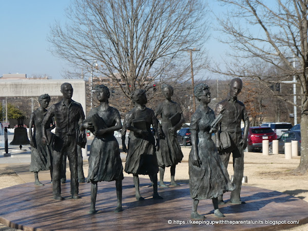
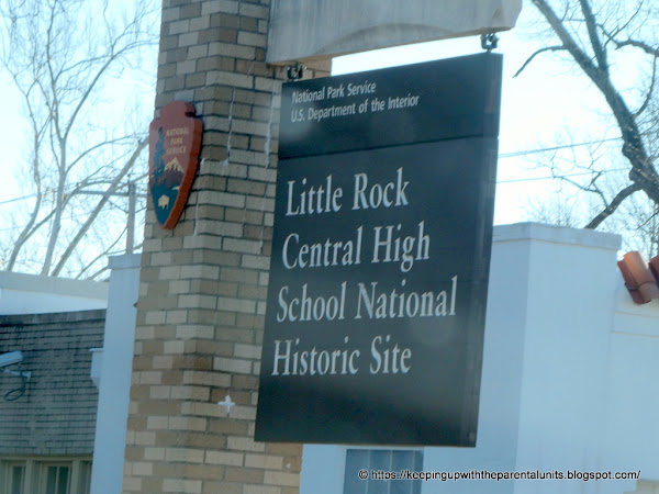
Statue of the Little Rock Nine. Tried to get a photo of the High School, but classes were letting out and the street was blocked off for the school buses

We are still walking...

Hope to be home tomorrow, Monday.