But we we able to get to “The End of the Great River Road,” as was the plan. Yesterday we followed the Mississippi River south as far as you can go without chartering a boat.
It was a long slog from Bayou Segnette State Park in Westwego, Louisiana (yes, that is really the name of the city; I am not making it up; it is a suburb of New Orleans) to the end of the Great River Road in Venice, Louisiana.
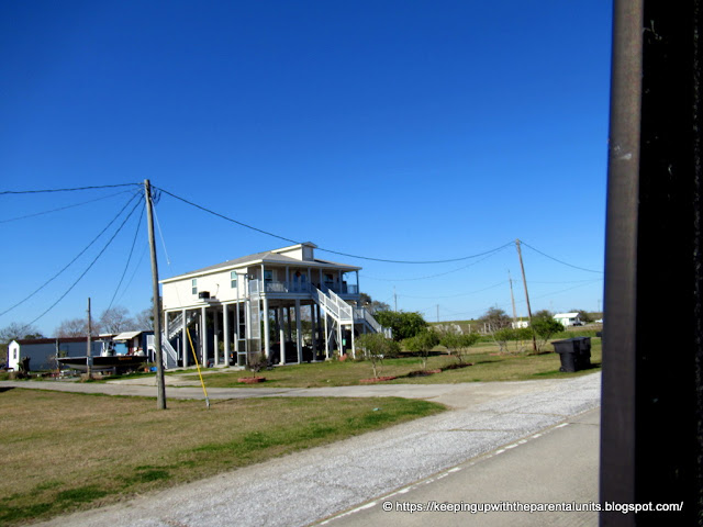
It’s not a very scenic drive down Route 23. There are two lanes in each direction for most of the way. You pass endless oil refineries, dreary towns, buildings built on stilts so tall that you’d have to climb three flights of stairs to get to the front door, occasional piles of garbage, one or two beautiful homes that look weirdly out of place, trailer parks, and telephone poles/powerlines running down both sides of the road.
You can’t even see the Mississippi River on the left or the bays on the right because the ever-present levees block the view on both sides. It was only when the tops of huge ocean going oil tankers and cargo ships could be seen passing behind the levee (surreal; it looked as if ships are sailing on the top of the levee) that we realized how close to the Mississippi we actually were.
We climbed over the levee in a few spots to see the river
The only thing of interest on the drive, other than the “End of the Road” which was not that interesting anyway, were the ruins of Fort Jackson, built after the war of 1812. We could not understand why a moat was needed for a fort by a river, but we obviously do not have military minds. We were lucky to run into Nathan Huegen who was the only other person there. He is the director of educational travel at The National WWII Museum in New Orleans. He is usually traveling worldwide, leading tours of major battlefields, but is currently stranded in the US due to Covid. Anyway, he was at the fort doing research for something and was happy to tell us about the history of the place. Bob might remember some of it.
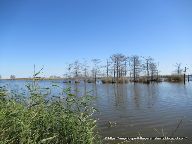
We finally saw water towards the very end of the drive. There were various bodies of water with dead cypress trees on one side, and a sort of drainage ditch with a few wading birds on the other. A lot of toxic waste has been dumped here.
At the very end of the road, there was a helpful sign welcoming us to the “Southernmost Point in Louisiana. Gateway to the Gulf.”
But the "End of the Road" was not the end of the Great River Road, as the road had veered away from the Mississippi River a little further north. (See map below.)
Despite this claim, there was a spur road going a few miles further south, according to google maps, to Hilcorp Energy Company’s industrial complex, but there was a big sign “Private Property! Trespassers will be Prosecuted to the Full Extent of the Law! etc. etc.” and we decided not to chance it.
But the "End of the Road" was not the end of the Great River Road, as the road had veered away from the Mississippi River a little further north. (See map below.)
This was the southernmost point we could drive to on the Mississippi River . There was not even a sign marking the end of the Great River Road. A bit of a let down.
Looking downriverSome google map screenshots to put this drive in perspective


No comments:
Post a Comment